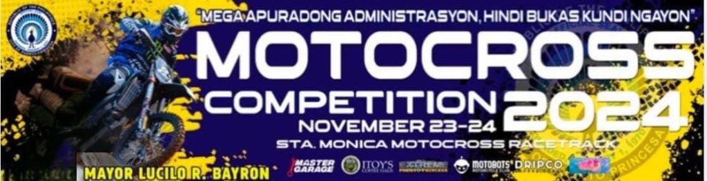

Hatid sa atin ng pamahalaang panlungsod ng Puerto Princesa sa pamumuno ng "Nag-iisang Action Man", Mayor Lucilo R. Bayron! Ngayong Nobyembre 23-24, 2024 sa Sta. Monica Race Track. Mamangha at mabilib sa mga espesyal na bisitang Pro Riders:* Bornok Mangosong*
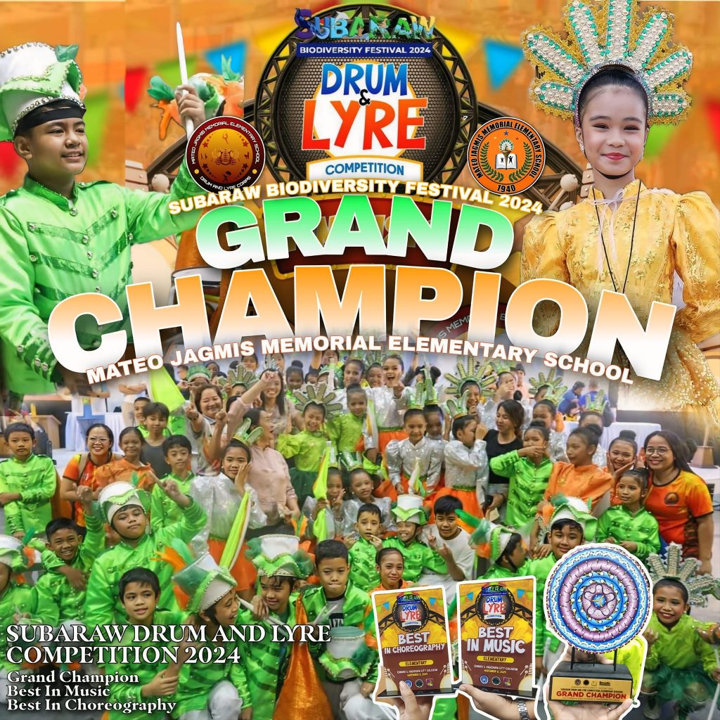
Sinimulan sa parada nitong Nobyembre 8 ang pagbubukas ng Drum and Lyre Competition kaugnay ng Subaraw Biodiversity Festival 2024 mula sa Robinson's Mall hanggang sa Edward S. Hagedorn Coliseum. Mula sa siyam na paaralang sumali sa elementary level, itinanghal na
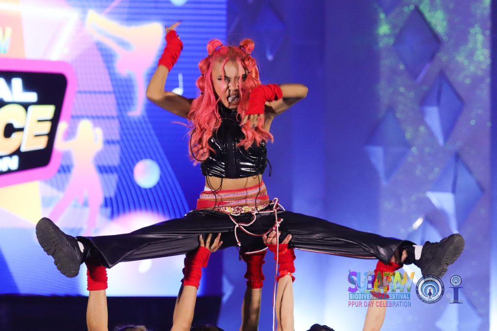
Pinainit ng labintatlong grupong kalahok mula sa lungsod ng Puerto Princesa, ibang mga munisipyo at probinsya ang buong Edward S. Hagedorn Coliseum ngayong araw, Nobyembre 9 sa pagpapamalas ng husay at galing sa dance floor sa "Subaraw National Dance Competition".
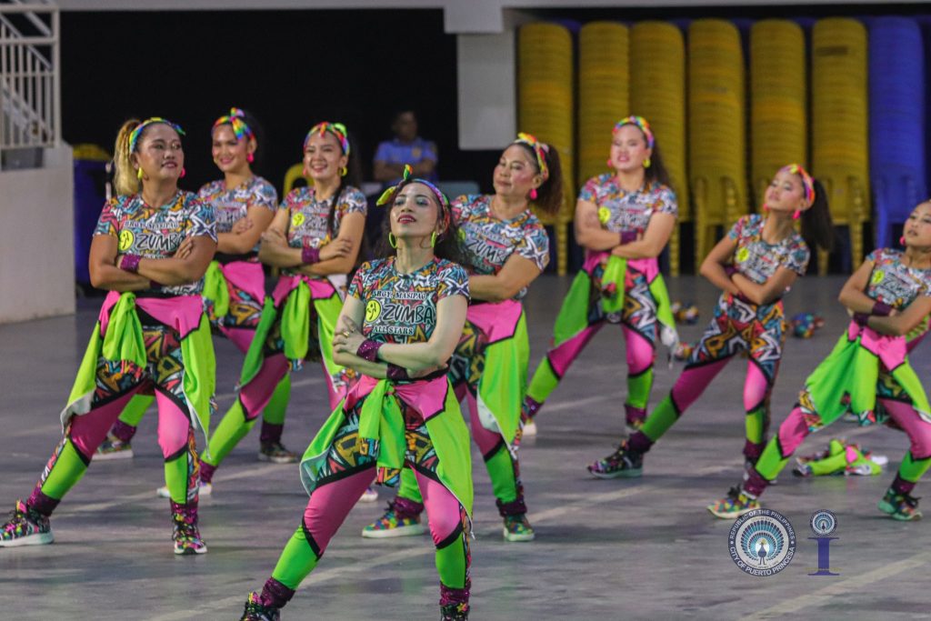
Sa ikaapat na pagkakataon panalo ang Barangay Mandaragat sa Zumba sa Subaraw o Zumbaraw Dance Competition nitong hapon ng Nobyembre 10, 2024 sa Edward S. Hagedorn Coliseum. Bahagi pa rin ang aktibidad ng Subaraw Biodiversity Festival 2024. Binuo ng 72
Thank you to all the participants for joining us. We hope you have an enjoyable experience! MARCH 28, 2025 at Water Pod of Balayong People's Park - Puerto Princesa City
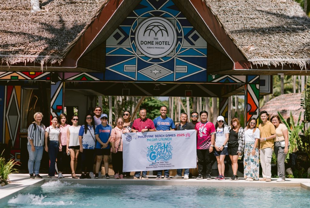
Mark your calendars for May 2-4, 2025, as PBG PPC takes over Pakpak Lauin, Talaudyong Beach for an epic weekend of sports, sun, and sand! #PBG2025 #philippinebeachgames
March27, 2025Balayong People's Park, Puerto Princesa City#LoveThePhilippines #PuertoPrincesa