THE ORIGIN AND NAME OF PUERTO PRINCESA
Legend attributes the name of Puerto Princesa to a princess-like maiden of rare beauty who roams around the bay on certain times of the year during moonlight nights. At other times, she is seen sitting on a rock of the shore of Parola beach looking far out sea, as if waiting for her sailor- love to come home.
Authorities however, contend that the name was derived from the geographical location of the place as a port – being naturally protected from inclemency of the weather all year round. It has sufficient depth to allow ships of all sizes to anchor. It is truly a “Princess of Ports” or in Spanish “Puerto Princesa.”
Historical records, however, show that the place was named in honor of Princess Eulalia of Spain. She was born in 1864 to the Reigning Monarch, Queen Isabela II and her consort Dr. Francisco de Asis. But when the princess met an untimely death, the Queen changed the name to “Puerto de la Princesa.” Eventually, it was reduced to Puerto Princesa as it is known today.
THE THREE SIGNIFICANCE
National Significance
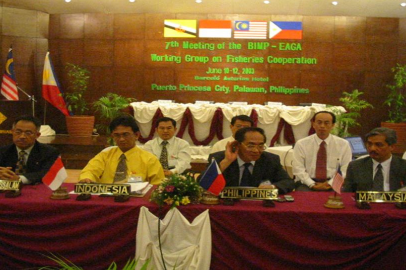
Puerto Princesa City has become the premier tourist destination in the Philippines. It has good access to Southeast Asian sea lanes and is near Vietnam, Malaysia and Brunei. The Brunei-Darrusalam, Indonesia, Malaysia and Philippines East Asia Growth Area (BIMP-EAGA) which brings in, the participation of Puerto Princesa and Palwan in the growth initiative among the four countries has resulted in increased trading activities in the City. The perceived borderless economy has hastened joint venture cooperation, tourism activities and business travel within the area. The upgrading of the Puerto Princesa airport ha s brought about increased air traffic and trade links between Puerto Princesa City and the rest of the region.
Regional Significance
Puerto Princesa City is part of Mindoro, Marinduque, Romblon, Palawan (MIMAROPA) Region IV and among the active players in the regional development. Its airport and seaport are among the important transport links in the Region. The City’s inclusion in the Special Zone of Peace and Development (SZOPAD) under Executive Order No. 371 has helped the City Government in its intensified development efforts particularly in the poor and depressed communities. Projects undertaken through the SZOPAD funds include water supply, irrigation, roads and other human development projects.
Provincial Significance
Puerto Princesa is the capital city of the Province of Palawan. It is the center of trade and commerce, communication, education and government service. It divides Palawan into the northern and southern parts. A component city of the province, it constitutes about 17 percent of the total land mass of the province. Puerto Princesa has continued to enjoy the competitive advantage as the main gateway to the rest of the province. Thus it provides a good share of revenue benefits for its inhabitants. Under the law, Puerto Princesa will have a financial share in the revenue benefits that Palawan gets from the operation of the Malampaya Natural Gas Project.
GEOGRAPHICAL LOCATION OF PUERTO PRINCESA CITY
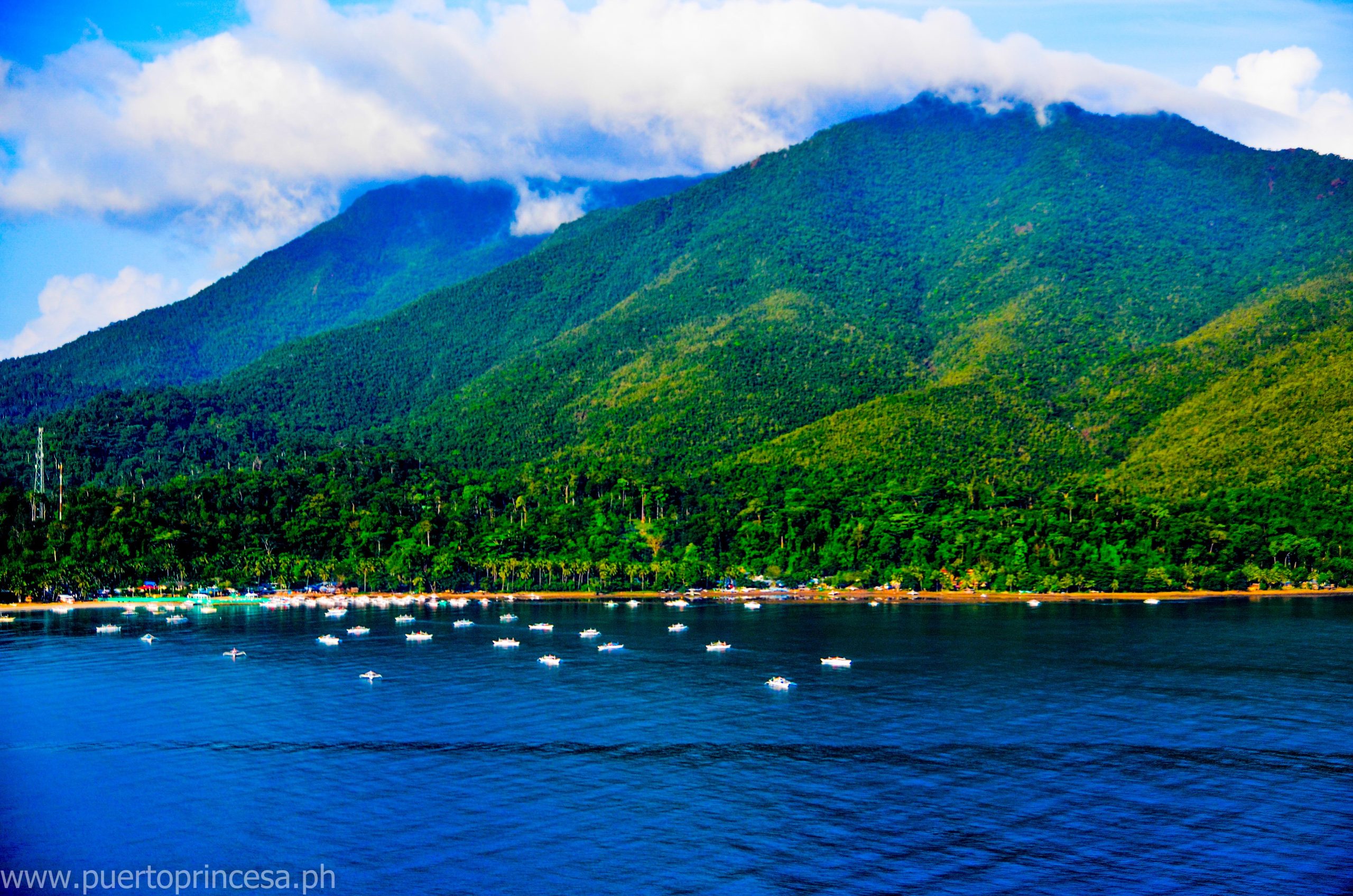
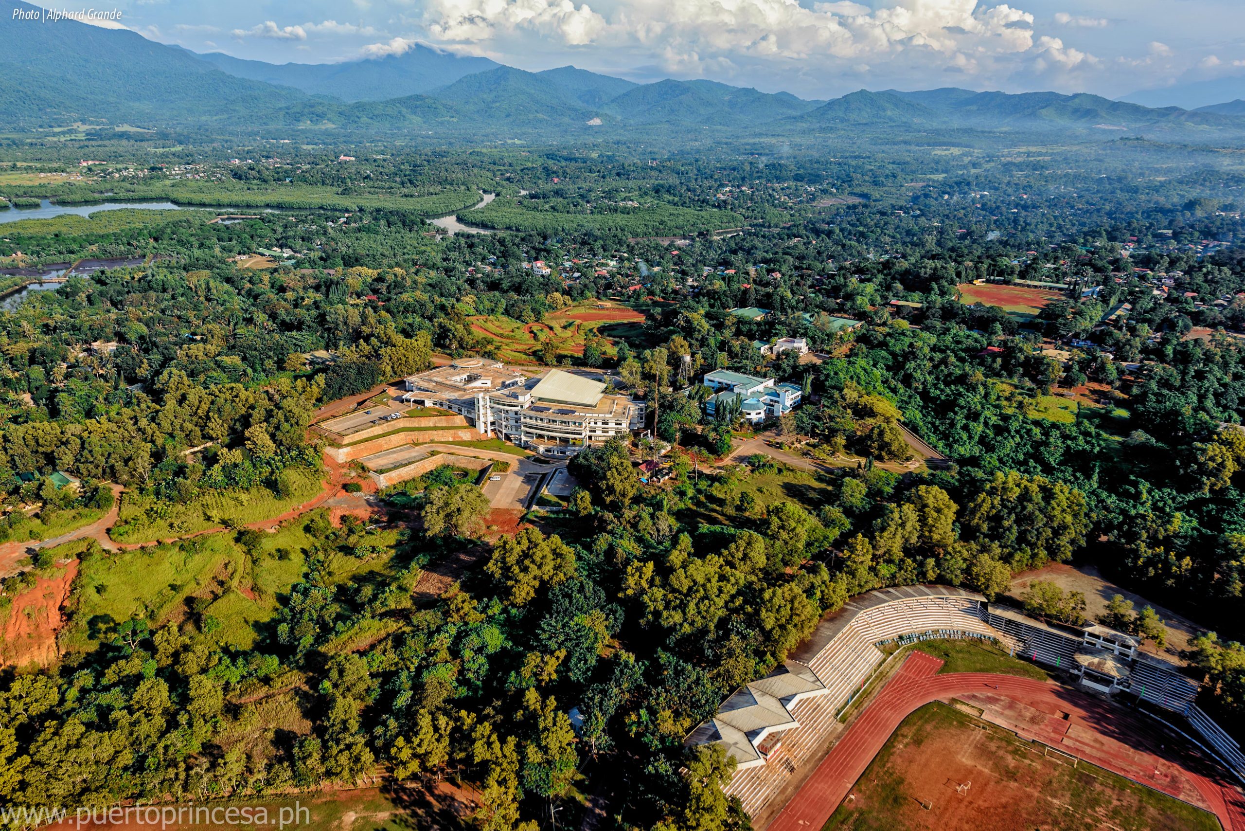
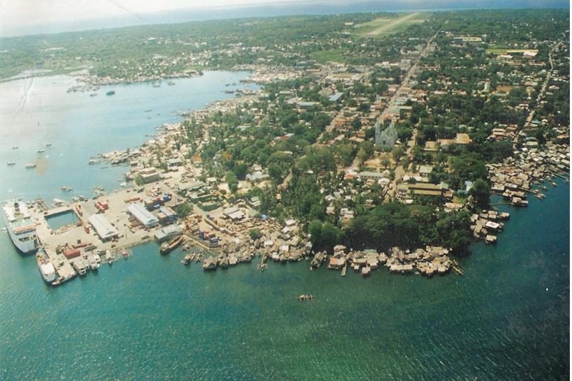
Puerto Princesa City lies in the heart of the long and narrow island Province of Palawan. It is approximately 306 nautical miles from Manila, 206 to Panay Island and about 250 to Zamboanga. It is 55 minutes by commercial airlines to Manila. It takes 18 to 20 hours by sea aboard the modern shipping lines that service the area from Manila and is about almost the same travel time from Negros Island. The territorial jurisdiction of the City is bounded on the north by the Municipalities of San Vicente and Roxas and on the south by the Municipality of Aborlan. Its western side is the coastline of the South China Sea and on the east lie the Sulu Sea.
It is considered one of the largest cities in the country with a land area of 253,982 hectares or 2,539.82 square kilometers stretching over 106 kilometers long with its narrowest breadth of 8.5 kilometers at Barangay Bahile. Apportioned to 66 barangays of which 35 are urban while 31 rural.
While large in size, only 1.8 percent of the area is inhabited and a forest cover of 151,405 hectares, believed to be the biggest in any city in the Philippines. Puerto Princesa is aptly referred to as the “Princess City in the Last Frontier” of the Philippines.
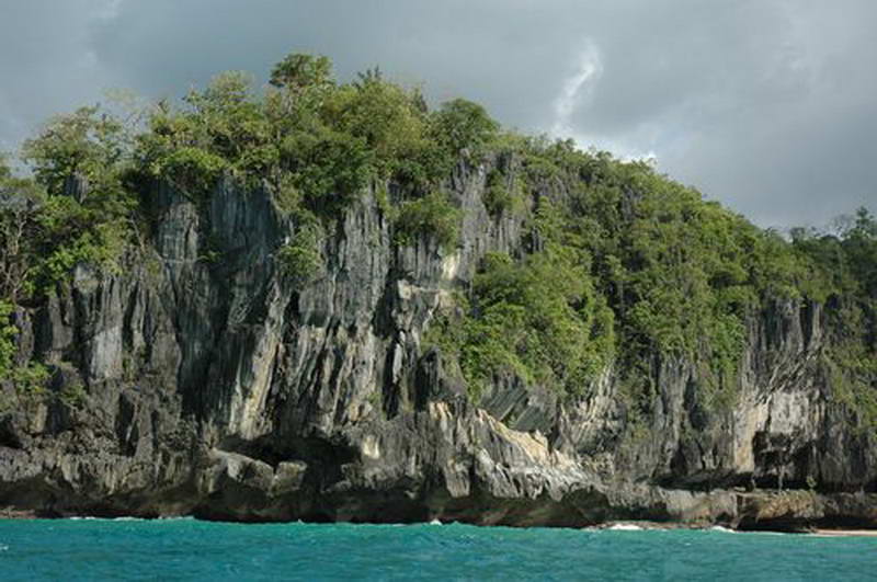
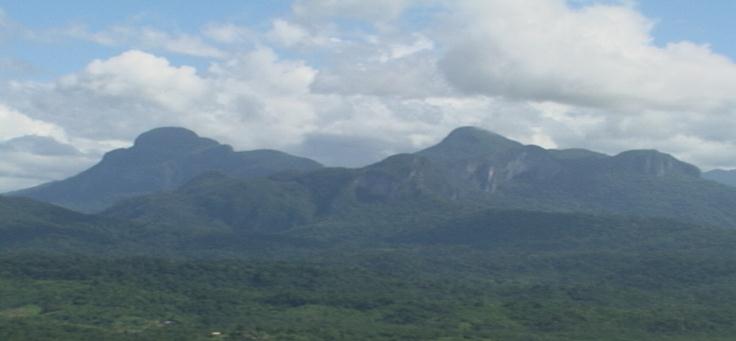
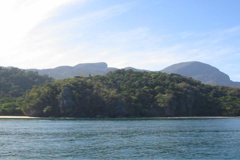
From the town, a chain of tall and majestic mountain ranges could be seen: towards the northwest, Mount Pulgar (1,208 meters) and Beaufort (1,121 meters); towards the southwest, the Cordillera of the Aldea and the Tres Pisos. The mountain ranges traverse the entire central length of the City, dividing it into two distinct areas: the east and the west coasts. The eastern side is characterized by thin strandlines bordered by swamplands, following a series of wide flat plains to hilly terrain. The west coast has less to offer, being pinched by craggy foothills and rugged mountains close to the sea. Generally, the terrain ranges from 10 to 1000 meters above sea level with rugged mountain areas in the interior. Its highest peak is Cleopatra’s Needle at 1,605 meters. The City has large productive areas of diverse marine ecosystems that provide shore protection and main source of food and employment in the fisheries and tourism sectors. Its coastline stretches over 416 kilometers and its coastal waters cover an area of 327, 586 hectares. Its mangroves which are important links between the shore and coastal ecosystems, cover an area of 5,917 hectares. Presidential Decree No. 2152 of 1982 declared the whole province of Palawan including Puerto Princesa City a mangrove reserve area. The vast Iwahig Prison and Penal Farm which has an area of 29,768 hectares offers good opportunities for farming of selected crops, livestock raising and other agricultural development. Negotiations on the plan to place the National Prison and Penal Farm under a joint management of the Department of Justice (DOJ) and the City Government of Puerto Princesa are underway. It is envisioned that Iwahig accommodate its resident prisoners in one portion of the area leaving vast lands available for sustainable agricultural activities that will greatly benefit the City’s economy.
CLIMATE, TEMPERATURE, PEOPLE, & TOURISM
Climate
Puerto Princesa enjoys good climatic conditions. It is outside the typhoon belt of the Philippines and is rarely affected by the direct and strong winds of a typhoon.
Temperature
The City has a uniform high temperature. Generally, the warmest months are March, April and May. The coolest are November, December, January and February.

People
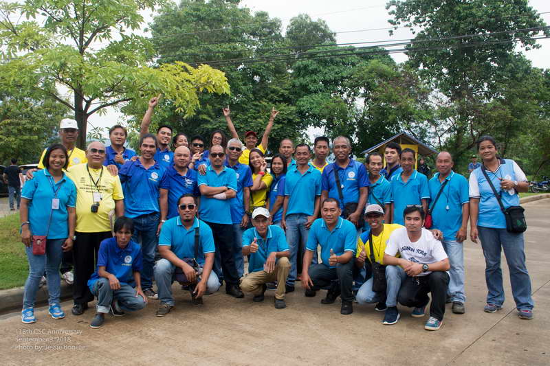
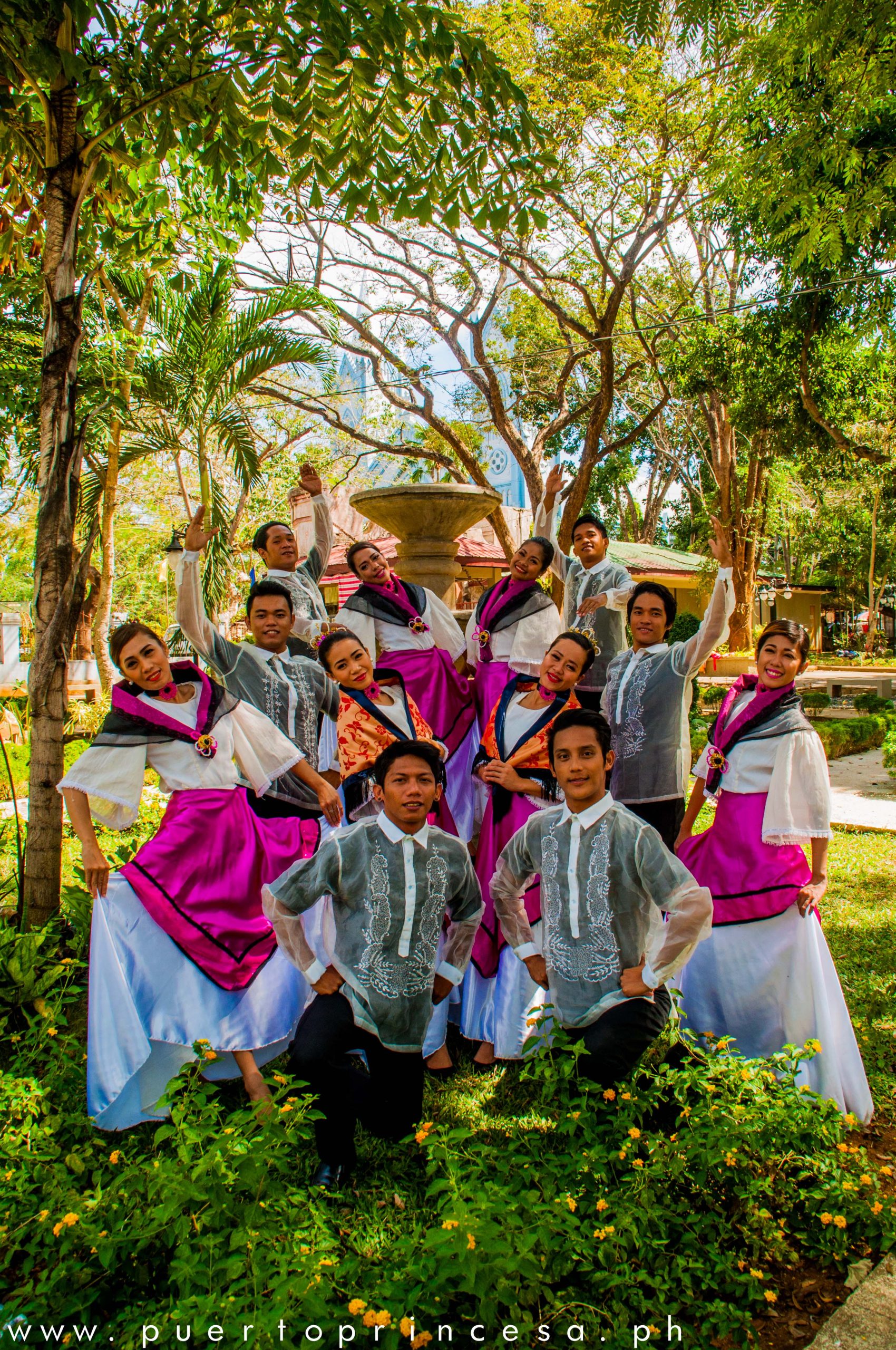
Puerto Princesa is a melting pot of people with different cultures. This is attributed to the influx of migrants from other Philippine provinces.
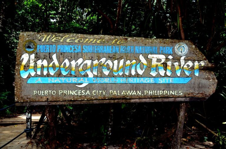
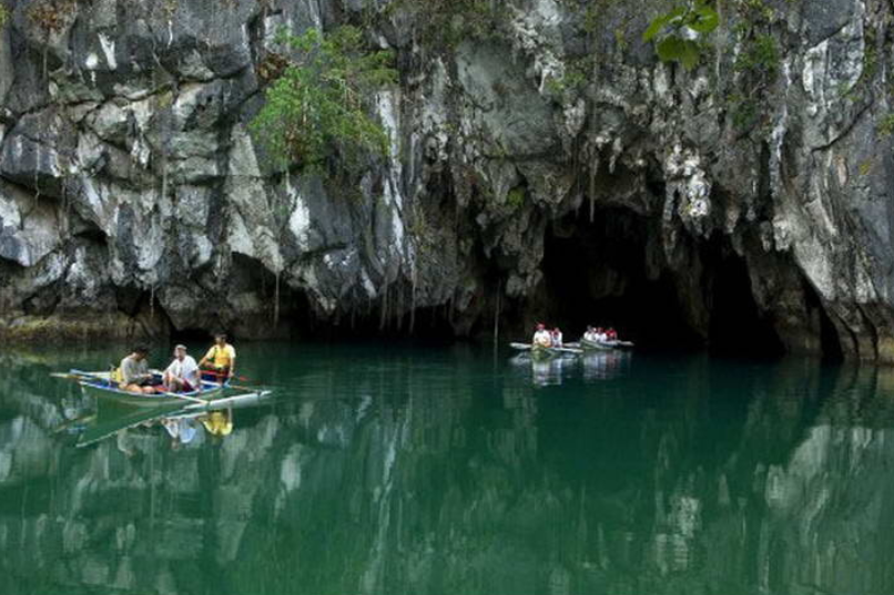
THE WORLD HERITAGE SITE
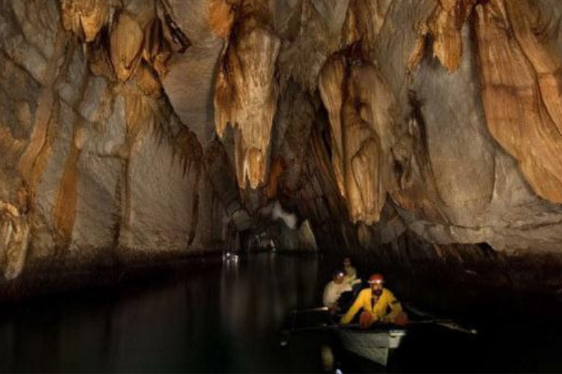
Outstanding among the scenic spots is the “eighth wonder of the world” – the Underground River at St. Paul’s Bay. A visitor once described the scenic beauty in these words: Nothing but an artist’s pencil could tell the story. Photographs give the outlines and convey no adequate conception of the marvelous detail of line and color. Nature’s sculpture is everywhere.
The scene changes . . .the note becomes that of ancient Egypt. Carved by time itself, unaided by the hand of man there reposes a complete and finished griffin (or is it a sphinx by time as amid thesands of time?). Between stately stone pillar rise a series of steps leading from the water to some temple within.
Then the cavern stretches away an almost perfect rectangle with walls and ceiling decorated with many colors- – surely the deft work of an artistic, designing hand. One sharp turn of the way and there appears a huge stalactite glittering like a chandelier from the ceiling of some great ballroom. Suddenly the boat glided into a great chamber resplendent with colors and decorations like a stage set for a scene in some grand opera. (Brochure. Palawan: The Last Frontier 3).
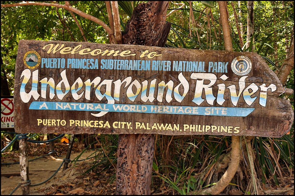
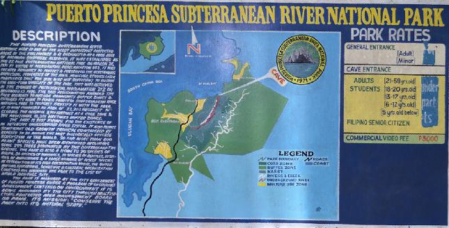
The Puerto Princesa Subterranean River National Park was inscribed on December 4, 1999 by the United Nations Educational and Scientific and Cultural Organization (UNESCO), a World Heritage Site, on the merit of its magnificent subterranean river with unique natural formations that empties into the sea. Furthermore, the whole Park, with the exception of small areas near the underground outflow and the administrative area of the Central Park Station, is covered by primary forest which is home to many endemic species of animals and plants. This dense tropical forest which forms the watershed area of the river is within the boundaries of the Park. It also encompasses an unusually wide variety of ecosystem. It is therefore of high scientific and conservation interest.
The PPSRNP is the only national park in the Philippines situated within the city’s boundaries. Thus, all the environmental preservation programs and maintenance are meticulously undertaken by the City of Puerto Princesa under the leadership of Mayor Edward Solon Hagedorn, whose successful environment programs have won national and international awards for the city government. At Marrakesh (Morocco) the UNESCO World Heritage Committee inscribed PPSRNP on the World Heritage List with this inscription:
“The PPSRNP features a spectacular limestone karst landscape with its underground river. A distinguishing feature of the river is that it emerges directly into the sea, and the lower part of the river is subject to tidal influences. The area also represents a significant habitat for biodiversity conservation. It contains a full “mountain-to-the-sea” ecosystem and protects some of the significant forests in Asia” On December 11, 2003, the PPSRNP was also proclaimed a “National Geological Monument” by the National Committee on Geological Sciences in recognition of its scientific importance as a permanent laboratory for studies on geological processes, uniqueness and high scenic value.

UNDERGROUND RIVER HISTORY
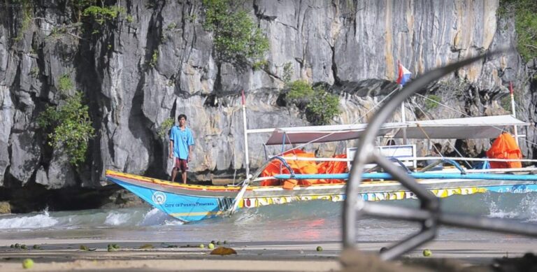
The St. Paul Subterranean River has a very long history. Commander Bates of the English navy, while exploring the coast of Palawan in 1850 saw the subterranean river. He named it St. Paul for he likened it to the dome-shaped St. Paul Cathedral in London. The Batak tribe lives in the area call the subterranean river as Natuturingan Cave, because of their fear of of spirits and animals living inside the caves prevented them from going inside its depths. Located at the west coast of the long strip of island of Palawan, some 81 kilometers from Puerto Princesa City proper, the St. Paul Subterranean River National Park (SPSRNP) was established on March 26, 1971 by virtue of Presidential Decree (P.D.) 835 to protect its unique and cultural features. Originally, it encompassed 3,901 hectares.
In conformation with Republic Act No. 7160 of 1991 or the Local Government Code, the Department of Environment and Natural Resources (DENR) in a Memorandum of Agreement transferred the responsibility of the management, protection, rehabilitation and development of St. Paul National Park to the City Government in 1992. Then on November 12, 1999, the President of the Philippines signed Proclamation No. 212 renaming the St. Paul Subterranean River National Park to Puerto Princesa Subterranean River National Park (PPSRNP) and expanded its area of coverage from 3,901 hectares to 22,203 hectares.
UNDERGROUND RIVER GEOLOGY
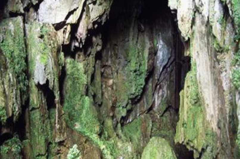
The first documented exploration inside the cave was led by Dean Worcester, an American, in 1887. The cave has a total surveyed length of 22 kilometers, making it the longest cave in the Philippines. The navigable portion is 8.2 kilometers. The gray rocks, making the walls are called limestone. They were formed under the sea about 23 million years ago. Changes in the earth caused the limestone to be exposed above the sea, allowing rain water to move through the small cracks in the rocks and dissolve the limestone much like hot water melting a block of ice. It took rain water thousands or even millions of years to enlarge the cracks into the passages as caves. The yellow rocks are called cave formations. The St. Paul Underground River is part of the Cabayugan River which disappears into the ground and becomes the St. Paul Underground River.
Inside the cave is a large formation called “Cathedral” because it resembles the dome of a huge cathedral. At the right of the cathedral is a formation which resembles the Virgin Mary and a Giant Candle, these are examples of stalagmites. They were formed from water dropping from the ceiling to the floor which left behind minerals that dissolved it into calcite. This is a very slow process, the changes of which cannot be noticed even in a lifetime. The estimated normal rate of growth of these formations is only a fraction of a millimeter per year.
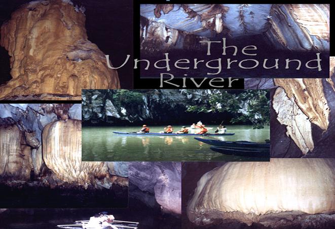
The candle is called stalactite. This was formed when water escaped the cracks in the ceiling which left behind some minerals before it dropped to form a stalagmite. The formation of jellyfish inside is an example of a flowstone. It was formed when water flowed on the walls of the caves and left a blanket of minerals. The giant mushroom is a beautiful flowstone. There are a series of blankets called growth rings which were formed over the previous blankets. The highest point is 65 meters above the water level. This was formed due to the abundance of cracks in the area and the fast flow of rain water. At the walls are a series of grooves. These are called notches and were formed by water. This indicates that the water level was once at that level.
The small stalactites are called soda straws because they resemble straws’ hollow centers where water flows through in droplets. The Highway is 200 meters portion of the cave which follows the large cracks, a result of the flow of rain water through the cracks. The thin formations found on the parallel walls of the highway called curtain or draperies. They are special type of flowstone. They are also called bacon as they look like it. The black and white lines that make the curtain resemble that of a bacon, was caused by the flow of the water over the thin portion of the walls. The weird stalactite in the cave is called Egret because of its eccentric formation which is different from the other stalactites. This was formed when the water droplet hanged on for a long time before it dropped that allowed the wind to move it from side to side where it left behind the dissolved minerals.
CAVE BIOLOGY OF PUERTO PRINCESA CITY
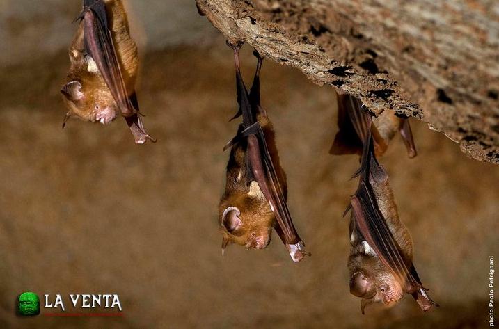
Cave Biology
The bats and swifts found in the cave, live part of their lives inside and outside the cave. They leave the cave only to look for food.

St. Paul Limestone Rock Formation
The limestone of Ulugan Bay and the limestone of Bacuit Bay are two totally separate rock formations.
Underground River National Park
Its main feature is an 8.2 kilometer long underground river that flows toward the South China Sea unde.
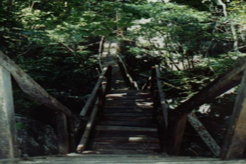
Monkey Trail
An alternate route to the underground river is through the Monkey Trail.
Daylight Hole
It takes about one hour and 30 minutes hike from the main road in Cabayugan to the foot of the Daylight Hole.
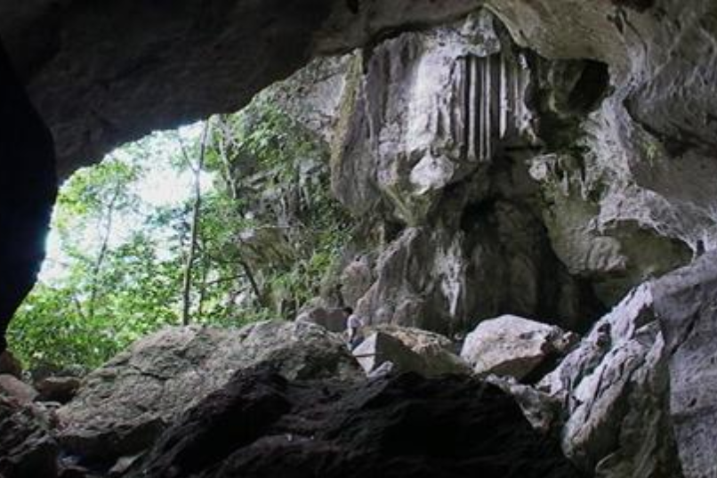
Lion Cave
The cave is eight kilometers away from Sabang. It is 200 meters from the side of the national highway.
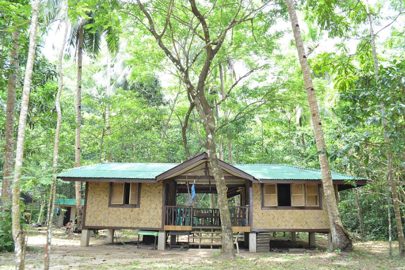
Malipien Ranger Station
Formerly known as the Central Park Station, the area has been converted into a restoration zone.
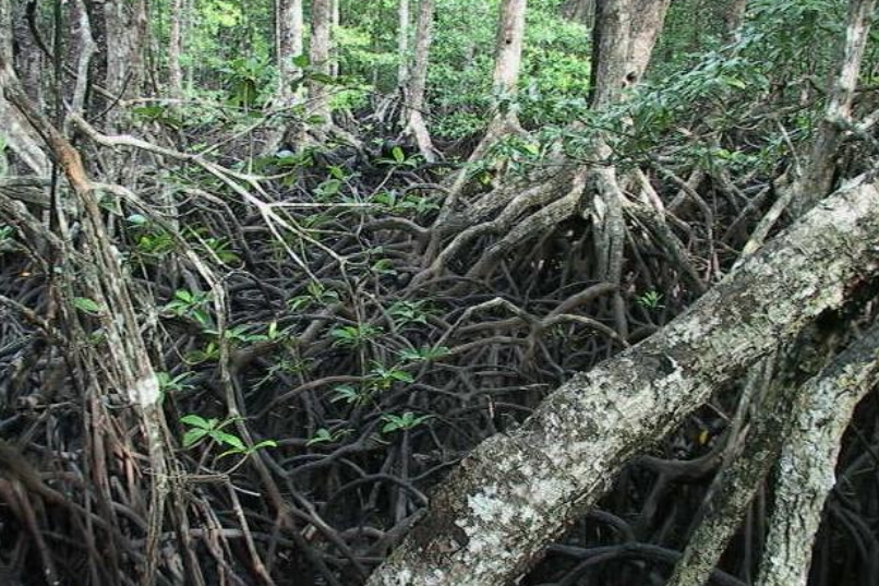
Century-Old Mangrove Forests
Princesa Subterranean River National Park (PPSRNP) is the Mangrove Interpretative Paddleboat Tour.
Ethnographic Site Museum
The site museum in Barangay Cabbayugan , right in the heart of the Puerto Princesa Subterranean River National Park.